NOAA Weather Drones Close the Tornado Warning Gap in 2026
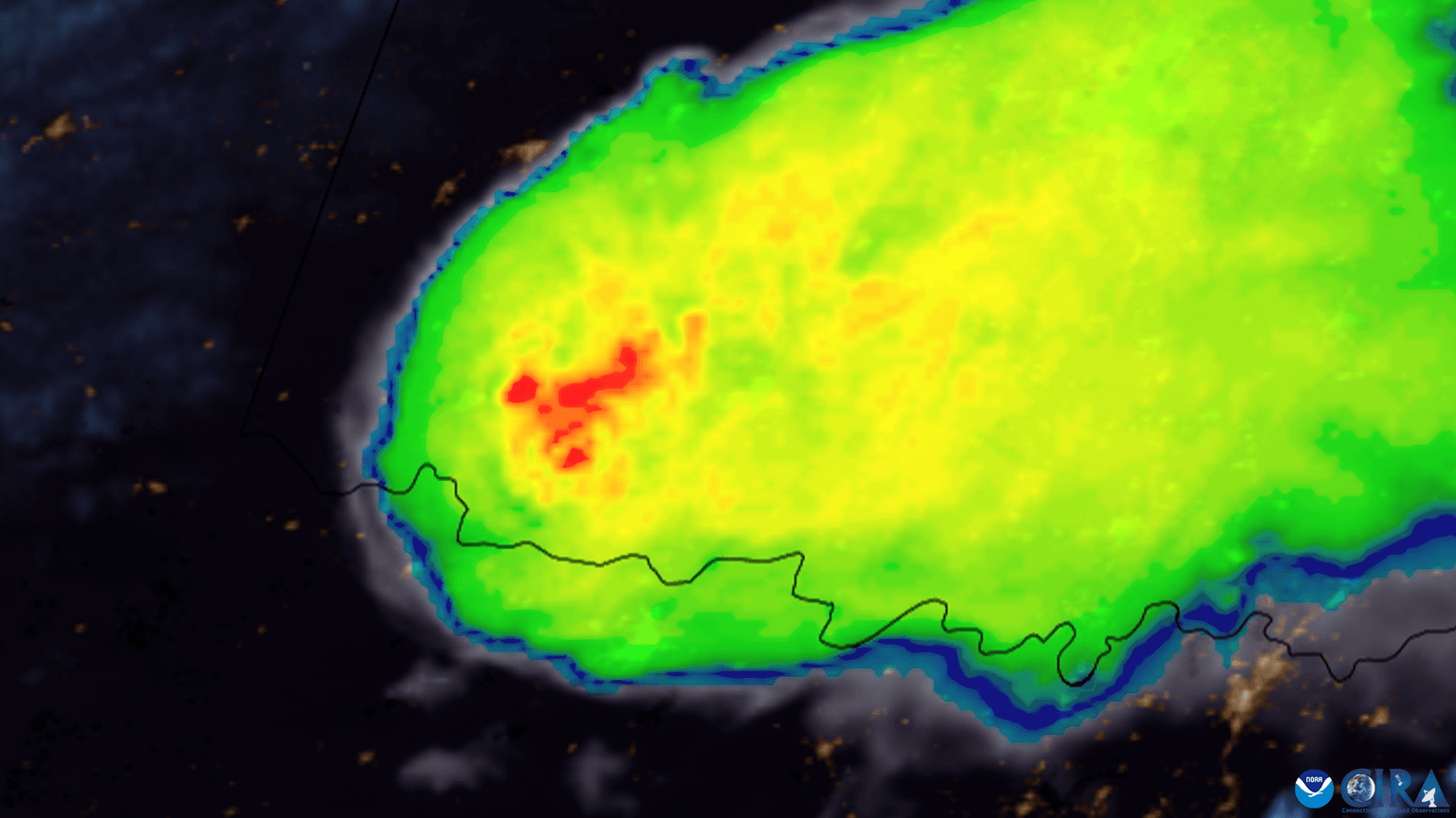
NOAA is now buying weather data from autonomous drones flying over Oklahoma, closing a gap between ground stations and satellites in the atmospheric boundary layer where tornadoes form. The Meteomatics-built Meteodrones feed vertical wind, temperature, and humidity readings into the National Weather Service, a partnership Bloomberg detailed on August 14, 2026, as also reshaping military planning and energy trading.
Background
Forecasters have long had two ways to see the atmosphere: weather balloons launched from roughly 80 fixed US sites twice a day, and satellites that scan from orbit. Neither instrument covers the boundary layer — the lowest one to two kilometers of atmosphere, where heat, moisture, and wind interact to decide whether a thunderstorm stays ordinary or spins up into a tornado. Balloons drift with the wind and only fly on a fixed schedule; satellites can't resolve fine detail that close to the ground. That gap has persisted since the balloon network began operating in the 1930s.
Swiss company Meteomatics is closing it with the Meteodrone, a hexacopter roughly 2.5 feet across that launches on demand from an automated "Meteobase" station, climbs on a vertical flight path to hold its position, and returns without anyone on-site. It is rated for 50-knot winds, carries a de-icing system, and is NDAA-compliant for US government use. Since the FAA restricts test flights to 10,000 feet under its current waiver, Meteomatics has yet to fly the aircraft's full advertised 20,000-foot ceiling in Oklahoma. For background on how autonomous flights like this fit into US airspace rules, see our guide to BVLOS operations.
How the Oklahoma Pilot Became a Program
NOAA runs the National Mesonet Program by purchasing observational data from roughly 70 third-party providers rather than owning the hardware itself, and Meteomatics is now one of them. Between January and April 2026, the company flew routine Meteodrone missions from a Meteobase at the Kessler Atmospheric and Ecological Field Station near Purcell, Oklahoma, in partnership with the University of Oklahoma, Oklahoma State University, the National Weather Service, and the Cooperative Institute for Severe and High-Impact Weather Research and Operations. The pilot succeeded well enough that the program moved into a second phase running through August 2026, and the partners marked the effort's operational milestone — flights had been running since December 2025 — with a public event on July 30 branded the Oklahoma 3D Mesonet.
"The National Mesonet Program is a gold standard for public-private partnerships," said Ajay Mehta, the National Weather Service's director of observations, at the July 30 event. Oklahoma State University runs a complementary in-house system called CopterSonde, built specifically to hold together in the high winds around severe storms, feeding the same forecasting pipeline alongside the Meteomatics fleet.
| Instrument | Coverage | Altitude | Deployment |
|---|---|---|---|
| Weather balloon | 80+ US sites | Full atmosphere | 2 fixed launches/day |
| Ground Mesonet station | 120 Oklahoma sites | Surface only | Continuous |
| Meteodrone | Purcell, OK pilot site | 50–20,000 ft (10,000 ft under current FAA waiver) | On-demand |
Why the Military and Energy Traders Are Watching
The Bloomberg feature ties the same boundary-layer data to two audiences beyond forecasters: military planners, for whom low-altitude wind and moisture readings affect everything from artillery ballistics to aircraft operations, and energy traders, who price electricity and natural gas partly on short-term temperature and wind forecasts that boundary-layer data can sharpen. Better vertical profiles narrow the uncertainty in the numerical models both groups depend on.
The clearest public-safety case for the technology predates the current NOAA contract. In late May 2024, a National Weather Service forecast team in Tulsa, led by meteorologist Steve Piltz, was weighing whether a developing thunderstorm would turn into a tornado. An Oklahoma State University researcher launched a drone to 1,600 feet that night and returned moisture and wind readings detailed enough for Piltz's team to upgrade its public warning. Brad Guay, Meteomatics' government solutions lead, summed up the payoff in blunter terms: "The more data we have, then the better the weather models can be, the better warnings we can make for things like tornadoes, hurricanes or winter storms."
What This Means for Drone Pilots
None of this changes Part 107 or recreational flight rules today — Meteodrone operations run under their own FAA waiver, not standard commercial airspace access. But the program is a live case study in how the FAA is willing to expand BVLOS-style, autonomous, drone-in-a-box operations for a clear public-safety return, the same regulatory logic behind the wave of BVLOS waivers reshaping how different drone types are classified and cleared to fly for infrastructure and public-safety missions. Watch the altitude ceiling in particular: Meteomatics is already asking the FAA to clear its drones past 10,000 feet, and if that waiver expands, it becomes a template other autonomous, high-altitude drone operators can point to.
For US and international readers alike, the bigger signal is that national weather agencies are now treating drone data as a line item worth paying for, not just a research curiosity — Meteomatics already runs similar Meteobase networks at 10 sites in Switzerland and a 30-site buildout in Norway, and NOAA's Oklahoma results are the pilot other national weather services will be judged against next.
FAQ
Sources: DroneXL | DRONELIFE | University of Oklahoma | Bloomberg
More like this
Related Articles
Lowe's Launches Drone Delivery: Tools in 20 Minutes
Lowe's is now the first US home improvement chain offering drone delivery, using Wing and DoorDash to get tools and paint to your…
Matternet Unveils M3: 11-lb Drone, 10-Mile Range
Matternet unveiled the M3 autonomous drone delivery platform on Sept. 28, 2026: 11-pound payload, 10-mile range, new dock, and a 2…
Drone Pilot Guilty in CLT Runway Case: Up to 1 Year Jail
A Charlotte man faces up to a year in prison for flying a drone between two live runways at CLT — here's the federal law he broke…