Wildfire Drones Get Ouster Lidar to See Through Smoke (2026)
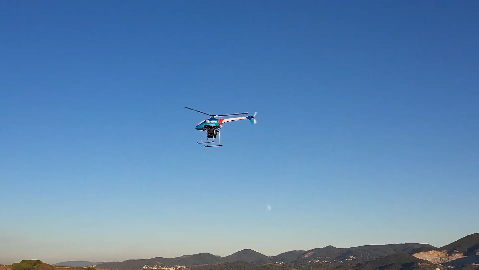
Ouster and autonomous aircraft maker Seneca announced on October 1, 2026 that Seneca's firefighting drones will fly with Ouster's Rev8 OS1 Max digital lidar on board. The sensor gives the autonomous aircraft real-time 3D perception through smoke, dust, and low visibility — conditions that have historically grounded camera-only drones during active wildfire response.
Background
Lidar (Light Detection and Ranging) is a sensor that fires rapid laser pulses and measures their return time to build a precise 3D map of everything around it, independent of ambient light. Unlike a standard camera, it keeps working in darkness, glare, and — critically for this partnership — through airborne particulate like smoke and dust.
Seneca is a California-based company building autonomous, AI-piloted aircraft designed to fly firefighting missions without a pilot maintaining visual line of sight on each drone. Its pitch to fire departments is a strike team of aircraft supervised by a single remote operator, deployable without the runway infrastructure a traditional aerial tanker needs. The company signed its first fire department contract in February 2026, a five-year agreement with the Aspen Fire Protection District covering a five-aircraft strike team.
Until this announcement, Seneca's perception stack relied on infrared sensors and standard cameras for collision avoidance, mapping, and object detection — adequate in clear air, but degraded by the dense smoke and ash that define an active fire line.
What the Rev8 OS1 Max Adds
Ouster's Rev8 OS1 Max is a native-color digital lidar sensor, meaning it captures color data alongside its 3D point cloud rather than a plain grayscale scan. Seneca is integrating it directly into its autonomous drones' perception system.
| Spec | Rev8 OS1 Max |
|---|---|
| Channels | 256 |
| Points per second | Up to 10.4 million |
| Range | 200 m (10% reflectivity target) |
| Vertical field of view | 45° |
| Operating temperature | -40°C to +85°C |
| Ingress protection | IP68 / IP69K |
| Weight | ~670 g |
"Our digital lidar equips Seneca with accurate, real-time 3D perception data," said Ouster CEO Angus Pacala. Seneca CEO Stuart Landesberg pointed to the sensor's durability rating as the deciding factor for flying it near an active fire: its IP68/IP69K sealing, shock tolerance, and wide operating-temperature range let the aircraft keep flying in heat and particulate that would risk a less-rugged sensor.
Why This Matters for Wildfire Response
Smoke, dust, and shifting terrain make wildfire operations some of the hardest conditions an autonomous aircraft can face, and they are exactly the conditions a vision-only drone struggles with most. Ouster says the lidar's longer effective range gives Seneca's aircraft more reaction time to detect obstacles — terrain, other aircraft, structures — before they become a collision risk, which matters when drones are flying closer to active fire lines than a crewed aircraft safely can.
Seneca lists three mission areas for the upgraded perception stack: carrying heavy cargo such as water or retardant directly to the fire line, terrain-following flight for mapping and vegetation management, and inspecting structures and utility infrastructure, an application that overlaps with the broader commercial drone inspection market already using lidar and thermal sensors on infrastructure. Better 3D perception through smoke also supports Seneca's core supervision model — one remote pilot overseeing multiple aircraft — since the aircraft need to handle more of their own obstacle avoidance without a human watching each one continuously on camera.
The upgrade also lands as wildfire airspace gets more congested and contested. Unauthorized recreational drones flying near active wildfires have climbed sharply in 2026, repeatedly forcing firefighting aircraft to ground or divert — a reminder that authorized, autonomous aircraft like Seneca's now have to perceive and avoid not just terrain and smoke, but other, unauthorized drones sharing the same restricted airspace.
What This Means for Drone Pilots
For commercial and public-safety drone operators, the Ouster-Seneca integration is a signal that lidar is moving from a mapping-and-surveying niche tool into real-time flight safety systems for autonomous aircraft operating in degraded visual conditions — wildfire smoke today, but the same case applies to dust, fog, or night operations in other public-safety missions. Operators evaluating sensor packages for BVLOS or low-visibility work should note that Ouster is positioning ruggedized, native-color lidar as a direct answer to the sensing gap that camera-only systems hit in smoke and haze. Fire departments and emergency-management agencies considering autonomous aircraft contracts, meanwhile, now have a concrete example of what a lidar-equipped platform adds over an infrared-and-camera-only one: longer-range obstacle detection and documented performance ratings for heat, shock, and ingress protection.
Customer deployments of the lidar-equipped aircraft have not been given a firm date; Seneca's existing Aspen Fire Protection District contract is the most likely first site to receive the upgraded sensor.
FAQ
Sources: Ouster investor relations | Highways Today
More like this
Related Articles
FAA Awards $12M for BVLOS Drone Test Research (2026)
The FAA gave $12 million to 19 BVLOS drone research projects on October 5, 2026, as its Part 108 rule sits stalled in White House…
Germany Backs Ukraine With $9.6B Drone Interceptor Deal
Germany and Ukraine signed 15 defense deals worth over $9.6B on Oct. 4, funding mass production of jet-powered interceptor drones…

Wing, Walmart Drone Delivery Hits Denver, Seattle in 2027
Wing and Walmart will launch drone delivery in Denver and Seattle in 2027, expanding toward 270 Walmart stores and 40 million US c…