Drone No-Fly Zones: How to Check Before You Fly (2026)
Flying a drone somewhere you shouldn't is the single most common way pilots get into trouble, not because the rules are hidden, but because no-fly zones are scattered across airport charts, national park policy, wildfire alerts, and stadium event notices that never cross paths on one map. A drone that strays into restricted airspace can trigger a federal investigation even if nothing was damaged and no one was hurt.
This guide breaks down exactly what a no-fly zone is, the apps that check for you in seconds, and how the rules differ across the United States, the United Kingdom, the European Union, and Australia, so you can look up your specific location before every flight, not just the first one.
What Is a Drone No-Fly Zone?
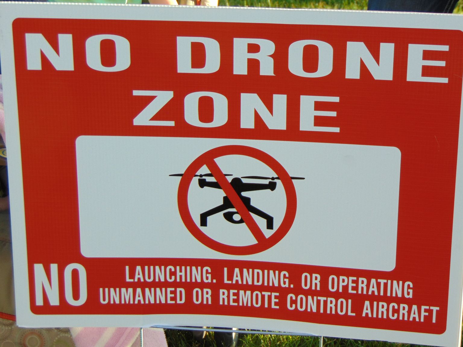
A drone no-fly zone is any area where flying an unmanned aircraft is prohibited or restricted by aviation authorities, either permanently (airports, national parks, military bases) or temporarily (wildfires, VIP travel, major sporting events). Zones are enforced by national aviation regulators, not local police, and violating one is a federal or civil aviation offense regardless of whether the drone causes any actual harm.
No-fly zones fall into two categories that require different actions from the pilot:
- Permanent restrictions: airports and controlled airspace, national parks, military installations, and designated critical infrastructure. These don't change day to day, so they're built into every airspace app by default.
- Temporary Flight Restrictions (TFRs): short-lived zones tied to an event — a wildfire, a presidential visit, a stadium game, a natural disaster. These appear and disappear within hours or days, so they only show up if you check the app on the day you fly, not the week before.
How to Check Before You Fly: Apps and Official Tools
The fastest way to check for a no-fly zone is a free airspace app that pulls live data from your national aviation authority — in the US, that's the FAA's B4UFLY program, which the agency runs through five FAA-approved data providers rather than a single official app.
In the US, B4UFLY-compatible apps (Aloft, Airspace Link, and others) show controlled airspace, national parks, military training routes, and active TFRs pulled directly from FAA data, updated in real time. The catch: B4UFLY does not show most state and local drone ordinances, so a location can be clear on the app and still be a no-drone zone under a city or state park rule. Always cross-check the specific state and municipality before flying somewhere new.
The same "check the app, but don't treat it as gospel" caveat applies outside the US too. In the UK, the Civil Aviation Authority issued three separate Skywise alerts between October 2025 and February 2026 warning that the popular Drone Assist app's airspace data can be unreliable, and telling operators to verify against the official UK Aeronautical Information Publication (AIP) and NOTAMs before flying. In Australia, CASA retired its original "Can I Fly There?" tool in favor of the newer Ok2Fly app. The lesson across every country: airspace apps are the starting point, not the final word — cross-reference with the official aviation authority's own NOTAM or AIP source when the flight matters.
Airports and Controlled Airspace: The Rules
You need explicit authorization to fly a drone in controlled airspace around most airports; in the US, this means Class B, C, D, or surface-level Class E airspace, obtained instantly and for free through the FAA's LAANC (Low Altitude Authorization and Notification Capability) system rather than a blanket distance rule. LAANC now covers more than 500 air traffic facilities and over 1,000 airports nationwide, including more than 100 Department of Defense fields, granting near-instant approval to fly up to 400 feet in previously off-limits airspace.
This replaced the older, simpler "stay 5 miles from any airport" guidance that recreational pilots may still remember; that flat mileage rule was tied to a law repealed in 2018, and today's system is airspace-class-based rather than distance-based. In practice this means a drone can sometimes legally fly closer than 5 miles from a small airport in uncontrolled (Class G) airspace, and can sometimes be restricted much farther than 5 miles from a major hub if it sits inside that airport's Class B shelf. Checking the airspace class on a current sectional chart or a B4UFLY-compatible app is the only reliable way to know, since guessing by distance alone gets it wrong in both directions.
If you fly for a business under a Part 107 certificate rather than as a hobbyist, the same LAANC authorizations apply, and commercial operators can also request further waivers through FAA DroneZone for operations LAANC doesn't cover.
National Parks, Wildlife Refuges, and Other Permanent Bans
All 429 National Park Service units in the US ban launching, landing, or operating a drone from park land, a blanket rule that has been in force since June 2014 under NPS Policy Memorandum 14-05, with no exception for recreational flyers. This is broader than most people expect: the ban covers the launch and landing point, so flying a drone that only passes over park airspace from outside its boundary is a separate legal question governed by the airspace above the park, not the park's own no-drone policy.
The same "check before assuming" logic applies to other permanent US no-fly categories:
- Wildlife refuges and many state parks: individually restricted, and rules vary state by state — always check the specific park's website, since NPS's national ban doesn't automatically extend to state-run land.
- Military installations: fixed no-fly zones around every active base, enforced far more strictly than civilian airspace and with essentially zero tolerance for incursions.
- Critical infrastructure: power plants, prisons, and similar designated sites carry their own fixed restrictions; see our critical infrastructure drone restrictions guide for the full current list and the penalties attached.
Temporary Flight Restrictions (TFRs): Wildfires, VIPs, and Major Events
A Temporary Flight Restriction (TFR) is a short-term ban the FAA publishes for a defined area, altitude, and time window, tied to a specific event rather than a fixed location, and it is the no-fly zone category pilots are most likely to miss because it wasn't there the last time they checked. The FAA publishes every active TFR at faa.gov/tfr and feeds the same data into B4UFLY-compatible apps.
The most common TFR triggers, in order of how often pilots run into them:
- Wildfires: drones flying near active fires ground firefighting aircraft immediately, since manned pilots cannot safely operate with an uncontrolled drone in the same airspace — the FAA's "If You Fly, We Can't" campaign exists specifically because this keeps happening.
- Major sporting events: MLB, NFL, and NCAA Division I football games at stadiums seating 30,000 or more, plus NASCAR Cup, Xfinity, and IndyCar races, automatically trigger a TFR covering a 3-nautical-mile radius up to 3,000 feet, active from one hour before the event to one hour after.
- VIP movement: presidential and other head-of-state travel generates a moving TFR that can appear with very little public notice.
- Disasters and security events: hurricanes, major accidents, and large public gatherings can all trigger a temporary zone for the duration of the response.
Because TFRs come and go within hours, the only way to catch one reliably is checking an airspace app on the actual day of the flight, not relying on a check you did earlier in the week.
No-Fly Zone Rules Around the World: US vs UK vs EU vs Australia
The core idea, airports and government/military sites are restricted, temporary events add short-term zones, is consistent worldwide, but the distances, apps, and authorities differ enough that a pilot flying abroad needs to re-check the local system rather than assume home-country rules carry over.
| Country/Region | Aviation authority | Airport restriction | Primary checking tool | Notable 2026 detail |
|---|---|---|---|---|
| United States | FAA | Controlled airspace (Class B/C/D/E) requires LAANC authorization | B4UFLY-compatible apps (Aloft, Airspace Link) | 500+ LAANC facilities, 1,000+ airports covered |
| United Kingdom | CAA | Flight Restriction Zones (FRZ) at every licensed aerodrome | NATS drone site / official AIP (Drone Assist flagged unreliable) | 44 new Ministry of Defence Prohibited Places took effect Feb 19, 2026 |
| European Union | EASA + national authorities | Geographical zones set per member state, color-coded on national maps | National authority maps; EASA's aggregated zone map | 15 of 31 EASA states had published standardized zones as of mid-2026 |
| Australia | CASA | No fly within 5.5 km of a controlled aerodrome without approval | Ok2Fly (replaced the retired "Can I Fly There?" app) | Red zones = no-fly, orange = fly-with-caution |
For pilots who split time between the US and Europe, our EASA drone categories guide and UK CAA drone rules guide go deeper into the certification side that pairs with these airspace restrictions.
Penalties for Flying in a No-Fly Zone
In the US, flying in restricted airspace without authorization can carry FAA civil penalties into the tens of thousands of dollars per violation, and knowingly interfering with a TFR set up for firefighting or law enforcement can additionally draw criminal charges under separate federal statutes. The FAA does not need to prove the drone caused an accident, entering the restricted airspace itself is the violation.
Enforcement typically starts with a warning letter for a first, minor incursion picked up passively (Remote ID broadcast, a witness report), but escalates quickly for repeat violations, flights near active incidents, or any flight that forces manned aircraft to take evasive action. Carrying drone insurance doesn't shield a pilot from these penalties, since liability coverage and regulatory fines are entirely separate exposures, but it does matter if a no-fly-zone incursion also causes property damage or injury.
FAQ
Sources: FAA B4UFLY | FAA Temporary Flight Restrictions | UK CAA – Where You Can Fly | EASA – Geographical Zones
More like this
Related Articles
Drone Remote ID Explained: Do You Need One in 2026?
Remote ID is a digital license plate for drones. See who needs it in the US, UK and EU, the 3 ways to comply, module costs and the…
Best Cheap Drones With Camera in 2026: 6 Picks Under $500
Looking for a cheap drone with a good camera? We compare 6 budget picks from $149 to $450 by real flight time, gimbal, rules and h…
How High Can a Drone Legally Fly? Limits by Country (2026)
The FAA caps drones at 400 feet; the EU, UK and Australia cap them at 120 meters. See the exact legal limit for your country and w…